December Hike – Las Trampas Regional Wilderness
Updated 12/9: Please note the time change.
 Date: Sunday, December 12, 2010
Time: 1:45pm - 4:00pm
Location: Las Trampas Regional Wilderness
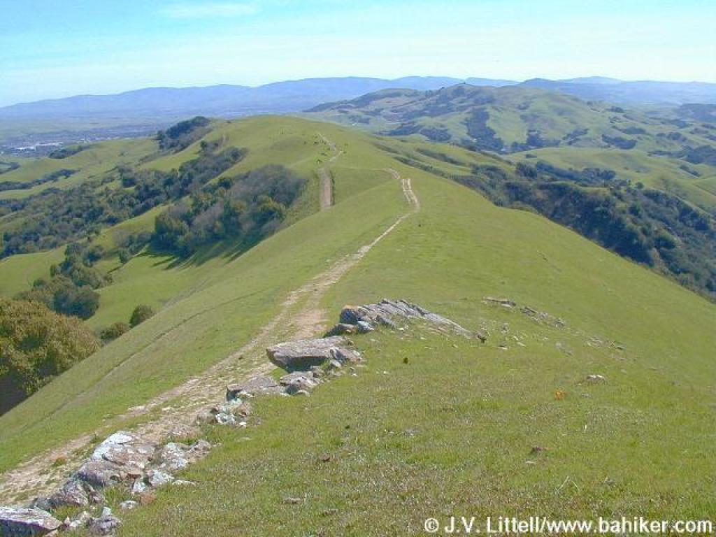
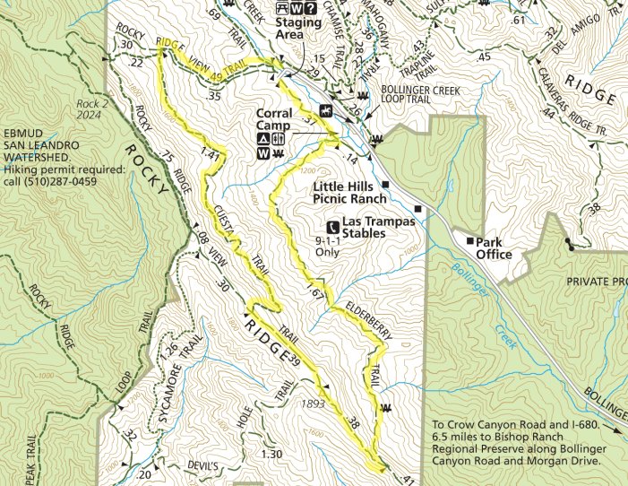
This 4.6 mile loop hike is moderate. Trailhead elevation is about 1040 feet. The featured hike climbs to about 1880 feet and then descends back to the trailhead. There are numerous short, somewhat steep ascents and descents, and the total elevation change is about 900 feet. It will be an exciting challenge for Cub Scouts (and adult partners!)
[stextbox id="info" caption="Hike Statistics" align="center"]Distance: 4.6 miles
Time: 3 hours
Trail surfaces: Dirt trails and one paved fire road.
Be sure to read: Hike info and park map[/stextbox] [stextbox id="info" caption="Directions" align="center"]Follow Crow Canyon Road, drive west pass I-680 for about 1 mile, then turn right (north) onto Bollinger Canyon Road. Continue about 4.5 miles to the trailhead at the end of the road. (map)[/stextbox] [stextbox id="info" caption="What to Bring" align="center"]Water, snack (granola bars, trail mix, fruit), sun screen.
Binoculars, camera, layer your clothes.[/stextbox] [stextbox id="alert" caption="Note" align="center"]Please arrive by 1:45 PM as we plan to start prompty at 2 PM![/stextbox] 


