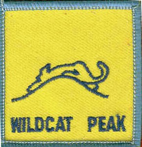
July Hike: Wildcat Peak, Tilden Regional Park, Berkeley
Sunday, July 19, 2020 DO ON YOUR OWN. NOTE PARKING AREAS MAY BE CLOSED SO CHECK THE TILDEN PARK WEBSITE
- Date: On your own.
- Time: On your own.
- Location: Wildcat Peak, Tilden Nature Study Area, Tilden Regional Park, Berkeley
- Meeting Point: Parking Lot of Environmental Education Center at 600 Canon Dr, Berkeley
- Distance: 2.6 miles
- Attire: Class B
- Awards: Trail Trekkers Cub Scout Patch/Progressive Hike Award
- RSVP: Evite to come
- Parking Fee: $5
- Contact: Hiking Chair Deva Sundararajan
Details:
A view of Mount Tamalpais rising from San Francisco Bay will be the reward for hiking to the top of Wildcat Peak in Tilden Park. This trail loops through eucalyptus and oak forests, up moderately steep hills, then back to one of the best nature study areas in the Bay Area. The hike should take about 2 hours.
This trail affords an excellent opportunity to compare different biomes. The first part of the hike is a gentle climb through pungent eucalyptus, abruptly yielding to oak woodland as you near Peak Trail. Then hikers climb moderately steep switchbacks through grassy hills (covered with wildflowers in spring) and chaparral slopes to Wildcat Peak at the top of the loop.
Here there is a spur (.10 mile) which leads to the top of Wildcat Peak high above the tops of the eucalyptus trees. You will find a circular stone observation plaza at the top. On a clear day hikers can view San Francisco Bay with Mt..Tamalpais rising above the bridges in the west, and Mt.. Diablo looming above rural Contra Costa County to the east.
To descend and complete the loop, retrace your steps on the spur back to Peak Trail. At this point continue on towards Nimitz Way. About 30 yards before the paved road the trail makes a right turn and begins to weave through a lush canyon.
When you come to the fire road (Laurel Canyon Road) follow it to the right until you come to the marker for Laurel Canyon Trail. Going left, you'll follow switch backs and cross tiny streams in the shade of large oaks and laurels. The trail continues on the other side of the next fire road, but about 10 yards to the left.
The last leg of your trek takes you out of the oaks, back into the eucalyptus grove, across one more fire road and finally deposits you back in the meadow behind the Environmental Education Center.
Getting there:
From Highway 24 take the Fish Ranch Road Exit (just east of the Caldecott Tunnel); go north about 1 mile to Grizzly Peak Blvd., turn right; stay on Grizzly Peak about 12.5 miles; turn right on Canon Drive, go about .10 mile and veer left on Central Drive, following signs to the Little Farm and Nature Study Area


